How to Read a Lake for Bass: Maps, Structure and Cover Explained
Every lake looks like a big, empty sheet of water until you learn to read it. Here is how to use a map and your eyes to narrow it down to the spots that hold bass.
To read a lake for bass, start with a contour map and find the places where the depth changes: points, drop-offs (breaks), humps, and creek or river channels. Then add the cover you can see or find with electronics, such as grass, wood, rock and docks. Bass most often hold where structure and cover meet, close to deeper water, and they move along predictable routes as the seasons change.
Structure vs cover
Two terms come up constantly:
- Structure is the shape of the bottom: points, drop-offs, humps, channels, flats and ditches.
- Cover is anything on or above the bottom that a fish can hide in or under: grass, stumps, laydowns, brush piles, rocks, docks and boulders.
Structure tells you where bass travel and rest. Cover tells you exactly where they sit. The best spots usually have both, plus easy access to deeper water.
Know your type of water
- Natural lakes, common in the North, often have bowl-shaped basins, weed lines, rock humps and sand or gravel flats. Grass edges are a major feature.
- Reservoirs, common in the South and West, are flooded river valleys. They have old creek and river channels, standing timber, flooded roadbeds and many creek arms. Water levels can change a lot.
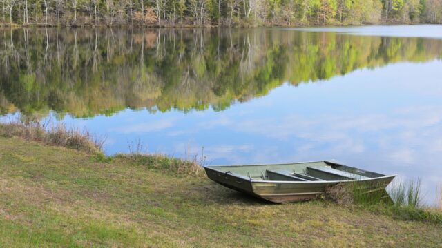
- Ponds and small lakes are simpler: focus on the deepest area, the dam, inflows, cover along the edges and any points.
- Rivers add current; eddies, current seams and backwaters matter as much as depth.
How to read a contour map
Each contour line connects points of equal depth. Once you know a few patterns, a map becomes a picture of the bottom:
- Line spacing shows steepness. Lines close together mean a steep slope or drop-off; lines far apart mean a gradual slope or flat.
- Points: lines bulging out from the shore toward deeper water.
- Channels and ditches: lines forming a “V” or “U” that points toward shallow water or upstream. The bottom of the V is the deepest part.
- Humps: closed loops that get shallower toward the center. Closed loops that get deeper toward the center are holes.
- Flats: wide areas with few contour lines.
Map sources include the lake maps built into many fish finders and phone apps, and free depth maps that some state agencies publish (Minnesota’s DNR, for example, offers depth maps for many lakes through its LakeFinder tool). Our guide to lake maps and GPS charts compares the main mapping options.
Keep in mind that maps can be old or incomplete, and reservoir levels rise and fall, so a “10-foot” contour may be 6 or 14 feet deep on the day you fish.
The key features and why they hold bass
| Feature | On the map | Why bass use it | Often best |
|---|---|---|---|
| Main-lake points | Long bulge into open water | Travel route between deep and shallow; catch wind and current | Pre-spawn, summer, fall |
| Secondary points | Smaller points inside creek arms | Staging areas on the way to spawning flats | Spring, fall |
| Breaks (drop-offs) | Lines bunched together | Quick depth changes let bass move up and down | Year-round |
| Humps | Closed loops, shallow in the middle | Offshore feeding spots, often with schools of fish | Summer, early fall |
| Creek and river channels | V or U shapes running through the lake | Highways for bass and baitfish; channel bends near banks are prime | Winter, summer, fall |
| Flats | Wide, shallow areas | Spawning and feeding areas, especially next to deep water | Spring, fall |
| Grass lines | Usually not on the map; found by eye or sonar | Cover, food and shade along a clear edge | Summer, fall |
| Docks | Visible along the shore | Shade and ambush cover | Spring through fall |
Points
Points are among the most reliable features on any lake. Fish the end, both sides and any spot where the slope changes. Check which side the wind is hitting.
Breaks and channel bends
A break is where depth changes quickly. Where an old channel swings close to a bank or a point, deep and shallow water meet in a small area, which is ideal for bass that want to move up to feed and drop back to rest.
Grass lines
In lakes with vegetation, the outside edge (where grass stops at deeper water) and the inside edge (toward shore) are both worth fishing. Points, pockets and openings in the grass are the best spots along the line.
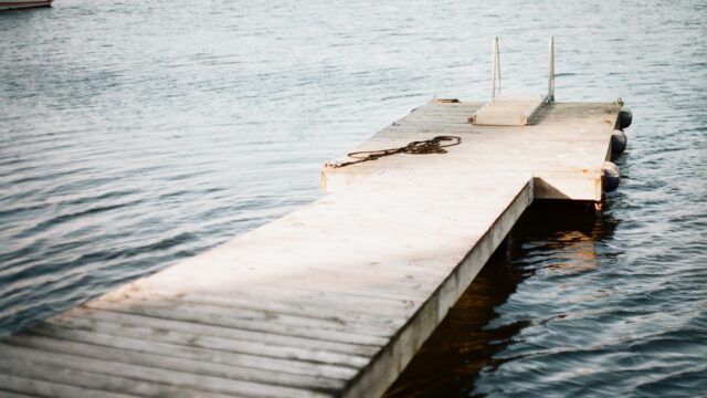
Docks
Docks are man-made cover that can hold bass from spring through fall, especially when they sit near deep water or on points. See how to fish docks for specifics.
Look for the “spot on the spot”
A long point or a mile of channel edge is still a lot of water. Within each feature, look for something different: a rock pile, a stump, a patch of grass, a change from mud to gravel, a sharper corner on the channel, or a small ditch cutting across a flat. These small irregularities often hold the most fish.
A fish finder helps you find those details, along with bait and fish; see how to read a fish finder.
Seasonal movement in a nutshell
- Winter: deeper water close to steep banks, channel bends and the ends of points.
- Spring: along channels and points toward protected flats and pockets to spawn.
- Summer: offshore ledges and humps, deep grass edges, or heavy shade in the shallows.
- Fall: back into creek arms and onto flats, following baitfish.
Thinking of the lake as a map of routes between these areas helps you find fish even on water you have never seen. Wind adds another layer; see fishing in the wind.
A simple plan for a new lake
- Study a contour map at home and mark points, channel bends, humps and flats near deep water.
- Pick a few areas that fit the season.
- On the water, check temperature and clarity, look for bait and birds, and note the wind.
- Fish the best-looking features quickly with a search bait, then slow down where you find fish.
- Save waypoints, and look for the same type of spot elsewhere on the lake.
Bottom line
Reading a lake means combining structure (the shape of the bottom) with cover (what sits on it) and the season. Learn to spot points, breaks, humps, channels and flats on a contour map, add grass, wood, rock and docks, and look for the small differences that make one spot better than the rest.
FAQ
What is the difference between structure and cover?
Structure is the shape of the bottom, such as points, drop-offs and channels. Cover is anything on or above it that fish can hide near, such as grass, wood, rock and docks.
What do contour lines on a lake map mean?
Each line connects points of equal depth. Lines close together mean a steep drop; lines far apart mean a gradual slope or flat.
Where should I start on a new lake?
Start with features that suit the season: points and channel bends near spawning areas in spring, offshore ledges and shade in summer, creek arms in fall, and steep banks near deep water in winter.
Do I need a fish finder to read a lake?
No, but it helps. A paper or phone map and careful observation of the shoreline, which often hints at what lies underwater, will get you started. A fish finder adds detail like cover, bottom hardness and bait.